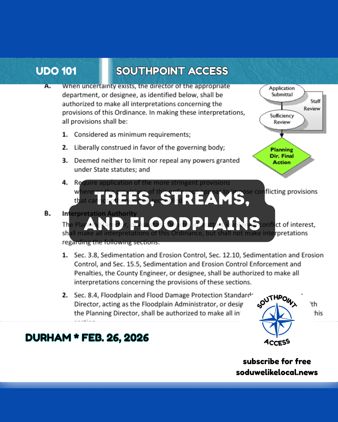
Trees, Streams, and Floodplains: Environmental Rules Shaping What Durham Can Build
Why environmental rules can shrink the buildable area, and reshape a project’s layout.

🗺️
Checklist
If you’re trying to understand why a project’s layout looks the way it does, ask these four questions:
1. Which tier is it in? (Tree coverage rules often depend on tier applicability.)
2. Is there mapped floodplain? Floodplain standards aim to keep those areas vegetated and limit risky development.
3. Is there a stream/pond/lake on or near the site? Riparian buffers apply broadly and must be shown/marked.
4. Are trees shown as preserved/replaced - and protected during construction? Look for tree protection zones/fencing and designated preservation/replacement areas.
In South Durham, a lot of development questions aren’t really about “zoning” at all. They’re about the site’s natural constraints:
- Where does water go when it rains?
- Is there a stream or wetland on (or near) the property?
- What’s in the floodplain?
- How many trees have to stay - and where?
Durham’s Unified Development Ordinance tackles those questions in Article 8: Environmental Protection.
Become a free subscriber to access the full article!
![[WordroW] Gathering - Feb. 26, 2026](/content/images/size/w600/2026/02/wordrow26.png)