
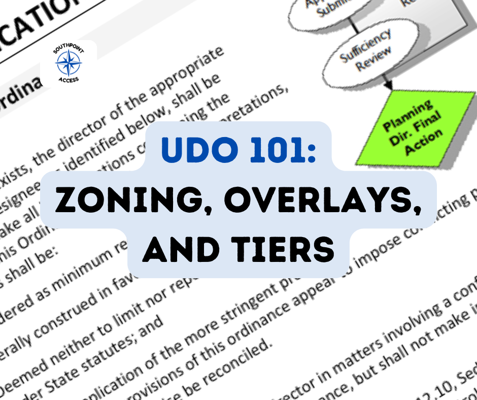
Zoning, Overlays, and Tiers: UDO Map Layers That Shape What Can Be Built
How to use the zoning map, the Use Table, and the standards to answer “what applies here?”

🗺️
When you’re trying to understand a property near you, don’t stop at “zoning.”
1. Zoning layer: what district is it?
2. Overlay layer(s): is there -P, -TO, watershed, historic, airport, MTC, etc.?
3. Tier layer: Rural/Suburban/Urban/Compact/Downtown (functions as an overlay).
That combination tells you what to look up next in the UDO: the Use Table, intensity standards, and whatever special overlay standards apply.
If you’ve ever looked up a property and thought, “Okay, it’s zoned something… but why are there extra letters and labels?” - you’ve found the part of Durham’s Unified Development Ordinance that trips up almost everyone:
Most properties aren’t governed by one rule. They’re governed by layers.
Become a free subscriber to access the full article!
![[SoDu Shopping Basket] Grocery Average Ticks Up This Week](https://storage.ghost.io/c/50/33/50334374-93a7-4cf9-ba69-d7d51c63be2a/content/images/size/w600/2026/07/shopping723.png)

![[Editor Review] The Odyssey - Wes Platt](https://storage.ghost.io/c/50/33/50334374-93a7-4cf9-ba69-d7d51c63be2a/content/images/size/w600/2026/07/odyssey722-1.png)
![[SeeGov Enhanced] DPS Board Approves Salary Schedules After Wage Debate](https://storage.ghost.io/c/50/33/50334374-93a7-4cf9-ba69-d7d51c63be2a/content/images/size/w600/2026/07/dpsboard722--1-.png)